If you are looking for a magic elixir to successful cruising it will not be found in the marine hardware catalogs or boat shows. It will not come with state of the art electronics, or a different boat. It is much simpler than that. Of all the things you can do to enhance your cruising experience and safety, having a basic understanding of on board weather forecasting is the most important. The cost is minimal – except for some time – and the rewards huge. These benefits accrue at sea and at anchor alike. Although modern forecasting tools are wonderful, they only take you so far. And the models do miss occasionally.
You may think a professional weather router will save you this trouble. But communications can break down at the wrong time, and weather routers do make mistakes, even the best of them. They are relying on model data as well as instinct. Modern models do a great job of forecasting energy flows on a macro basis, but they are less successful mid-ocean on a micro basis – in other words, in your immediate vicinity.
On the other hand, with an understanding of the basics and logging wind direction, velocity, and barometric pressure, you have a much better chance of figuring out what is going on, and what to do about it, than by just relying on weather faxes or GRIB files.
This is especially important in the tropics, where the model projections are less precise and more prone to error.
Then there are risk scenarios to be weighed before departing and during a passage. The weather forecast services constantly evaluate what their models are telling them. They use numerous weather models, from which they synthesize a forecast. One model may show a gale in three days, another a storm force condition, while three others show a stiff breeze. Odds are the three models deducing more benign conditions are right. But what if they’re wrong?
The forecaster has a conundrum. If he over-forecasts, says there is a storm coming, and then nothing happens, he takes heat. Plus his perspective is different than yours, just based on location. If you are sitting in Las Palmas in the Canary Islands, or Norfolk Virginia, ready to head to the tropics, if someone says there’s a 5% chance – one in 20 – of a strong gale or storm force winds, do you depart, or wait a couple of days and see what happens?
If you understand the basics, in particular the warning signs at the 500mb level, you can see these risk factors, quantify them for yourself, and then make an informed decision on whether or not to go.
Having been desk bound for the past year and a half, we’ve not had much need to think about this subject. But Peter Watson and crew aboard the FPB 64 Grey Wolf are about to embark on a journey that will require significant weather skills – both on board and from shore bound routers – and this has brought the subject to the fore. As we mentioned in our previous post, we made the trip from New Zealand to French Polynesia in 1988 with Sundeer, and again in 1997 with Beowulf. The 1988 trip was just ahead of cyclone Bola’s visit to North New Zealand, and we arrived in Tahiti on the heels of a small but intense tropical system. So we can relate to what Peter and crew are thinking just now. The 1997 trip was easier, but we did have the pleasure of a strong compression gale one evening, with the breeze building to the mid 50-knot range.
Which brings us to part two of this post: heavy weather tactics. The most important tactic is avoiding heavy weather in the first place. But if you spend enough time at sea, occasionally you are going to feel Poseidon’s wrath, in which case understanding the structure of the pressure flow that is causing your grief becomes critical. Once this is known, the appropriate tactics can be employed to minimize risk. Often moving a moderate distance in the correct direction can make a huge difference in the wind and seas encountered. This is particularly important with tropical storms, where as little as 30 miles can mean the difference between a moderate gale and hurricane strength wind.
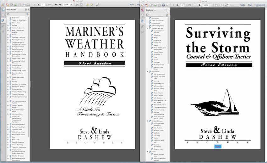
Dashew Offshore, Beowulf Publishing, and the FPB team have been blessed with the support of the cruising community for many years, and we’d like to return the favor in a small way. We are making two of our books, Mariner’s Weather Handbook and Surviving the Storm, available for free as PDF files. Simply click on the links below to download these publications. We hope the first title helps you avoid the need for the second.
We’ll see you out there cruising in 2016.
Click here to download Mariner’s Weather Handbook
Click here to download Surviving the Storm